Want to See Spring Wildflowers, But Can’t Visit Lake Elsinore’s Walker Canyon? Here Are Five Alternatives.

Wildflowers visible from Yucaipa Blvd. in Yucaipa in Feb. 2023

Heavy rain in December and January is bringing the promise of lovely wildflowers to hillsides across Southern California in spring 2023, though the extent and duration will depend on whether and how much additional rain falls during the remainder of February and March.

In 2019, the last wetter year in the Southland, many Californians flocked to Walker Canyon in Lake Elsinore to witness a spectacular “superbloom” of poppies. Thousands of social media feeds included selfies and group shots taken amidst the lovely flowers.

This year, officials are closing the canyon to visitors, out of crowd management concerns and at the desire of local residents.

But the closure of Walker Canyon doesn’t mean you can’t get a good look at local wildflowers in 2023. Here are five alternative locations to visit. Though wherever you go, remember to take nothing but photos and be respectful of private property.

Flowers adorn the hillsides in the La Sierra area of Riverside that I used to run through as a child. This view is from Doty Trust Park. Photo from Feb. 2023

The Gavilan Hills

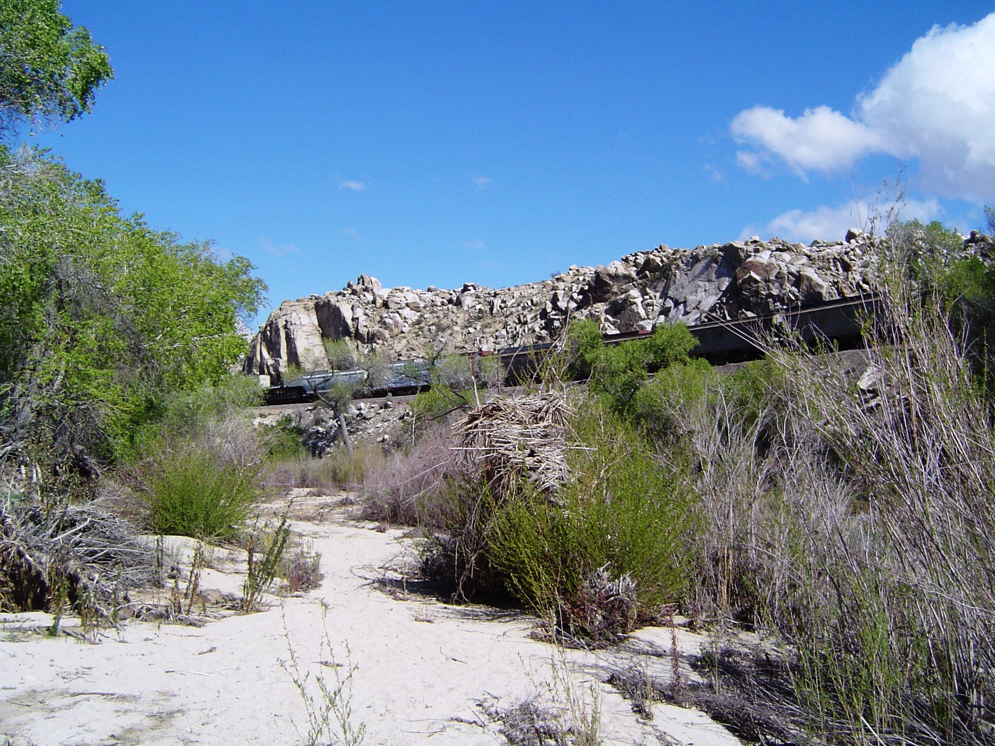
Essentially, this is visiting the other, quieter side of the Walker Canyon hillsides. The easiest approach is Lake Matthews Drive off Cajalco Road. Much of this area is part of the Lake Matthews Estelle Mountain Reserve. The nearby Hartford Springs County Park is a good spot for day hikes in this area.

Colorful poppies on the Gavilan Hills in spring 2019, the quieter side of the hillsides that drew thousands to Walker Canyon that year.

The La Sierra Hills

The hills between Norco and Riverside are accessible at several spots, including Doty Trust Park and Hidden Valley Nature Preserve. Mostly yellow flowers make the hillsides particularly lovely, while the views of the surrounding valleys are camera-perfect!

Anza Borrego Desert State Park

This desert nature preserve has been a popular place for wildflower hunters for decades. The town of Borrego Springs offers lodging, dining and supplies in the middle of this largely undeveloped natural area.

Antelope Valley California Poppy Reserve

This is probably the best opportunity to get up close and personal with California’s official state flowers, the golden poppy. There are eight miles of trails at this park near the High Desert town of Lancaster, as well as a visitor center with interpretive displays.

The Flower Fields in Carlsbad

These aren’t wildflowers per se but rather commercially grown flowers. But this is far and away the most spectacular flower spot in Southern California (and perhaps in all of the United States), in operation from March through Mother’s Day.

In addition to these spots, don’t forget your own neighborhood or commuting routes you travel each day. Take some time to explore your immediate environs – oftentimes there is considerable beauty right under your nose!

Truly unforgettable floral scenes at the Carlsbad flower fields in 2017.

The World’s Largest and Most Famous Thermometer in a Small California Desert Town Recalls the World’s Hottest Temperature

The Baker Thermometer breaks the monotony of a desert drive with a reminder of the extreme temperatures recorded in this region of California. Photo from October 2022

There isn’t much of note in Baker, California, to put the town of 735 people in the Mojave Desert on the map. If it weren’t a rest stop on the way from Southern California to Las Vegas, it is doubtful that many people would find reason to visit here. But Baker’s claim to fame is an impressive one: It claims to be the site of the world’s largest (and most famous) thermometer, which records the world-record 134°F temperature observed in nearby Death Valley in 1913. Weekenders, truckers and business travelers are reminded of the extreme temperatures in this part of California when they see the current temperature (which quite often is well into the 100s) compared with the all-time record.

Baker was founded in 1908 as a station on the Tonopah and Tidewater Railroad. It has been the site of the iconic thermometer since 1991. The 134-foot-tall steel electric sign was snapped by hurricane-force winds in 1993, but was rebuilt. More recently, it was renovated for a digital display.

Situated at the intersection of State Route 127 and Interstate 15, the town is the gateway to the expansive Death Valley region to the north. Baker itself sits at an altitude of 930 feet, much lower than Barstow or Las Vegas but higher than the 282 feet below sea level at Death Valley’s lowest point.

Therefore, Baker might be considered one of the “cooler” sections of the Death Valley region. Still, temperatures here have hit 125°F and average above 110°F in July.

A visitor to this community will find a town that has seen better days. Once the site of a major prison, Baker today is in decline, with many motels and shops of yesteryear permanently shuttered.

Though Baker may be in decline, it is forward-thinking enough to have an electric vehicle charging station. So Baker is a great place for Tesla owners to explore! Photo from October 2022
The brutal 134°F recorded in Death Valley in 1913 is so ingrained in the identity of the small nearby town of Baker, California. Photo from October 2022

But the thermometer, visible for miles away in either direction on the I-15, still makes this spot a great place to get out, take a stretch, and get a selfie or group pic. And perhaps buy a souvenir at the nearby gift shop. And maybe even plan your own excursion to the heart of Death Valley some 115 miles to the north.

I’d advise against visiting in midsummer. Despite a rush of interested tourists, the temperatures are just too extreme to enjoy safely. Come in the cooler months instead. Grab a bite to eat at one of the fast food establishments or the Mad Greek Mediterranean restaurant. And perhaps stay for the sunset, which is particularly beautiful here.

Baker is a reminder that every place – no matter how seemingly inhospitable – is unique and interesting. And that any superlative can be a locality’s claim to fame – and make it worthy of exploration.

A look at Downtown Baker. Photo from October 2022

Explore the Kern County Deserts With My Upcoming Ebook

My first Southern California travel-focused ebook will be released on June 7! After crowdsourcing suggestions with my 4,500 LinkedIn connections, I selected the Kern County deserts as my topic, harking back to a favorite yet little-known destination I enjoyed in my childhood.

The ebook is focused on a proposed weekend trip itinerary covering such points of interest as Randsburg Ghost Town, the Native American petroglyphs near Ridgecrest, Red Rock Canyon State Park, the Tehachapi Loop, Cesar Chavez National Monument and the Borax Visitor Center in Boron.

Discover answers to questions such as:

  • Where can Native American petroglyphs be viewed in the High Desert?
  • Where did the largest California earthquakes in the past century originate?
  • What geological wonder was a setting for such major motion pictures as “The Ten Commandments,” “Planet of the Apes” and “Jurassic Park”?
  • Where does boric acid come from?

And much more!

Each year, millions of Southern Californians and others take Highway 395 through the Kern County deserts on their way to Mammoth Lakes or Lake Tahoe. This new ebook will transform your perspective, encouraging you to add desert towns such as Ridgecrest to your itinerary as places of interest in their own right.

Pre-order today on Amazon Kindle Store!

Straddling Two Counties, Wrightwood Offers a Unique Mix of Mountain and Desert in L.A.’s Back Yard

View of Downtown Wrightwood from the second story balcony of Alice’s Vintage Cottage. Photo from July 2021

When I did a poll on LinkedIn asking Southern Californians to name their favorite local mountain getaway, the San Bernardinos, home to Big Bear and Lake Arrowhead, not surprisingly was the overwhelming favorite.

But what surprised me most was the second choice.

Rather than Idyllwild or Julian, respondents selected the San Gabriel Mountains as their second most favorite pick.

The only community of any significant size in the San Gabriels is the town of Wrightwood, situated at nearly 6,000-foot elevation on the north slope of the granite mountain ridge that forms the backdrop of Los Angeles County.

Wrightwood is an unincorporated community and is mostly situated in San Bernardino County, though a small portion of the west end of town is in Los Angeles County.

A quiet yet intriguing community near the border of the mountain and High Desert ecosystems, Wrightwood is an accessible day or weekend destination from the Antelope Valley or along the I-15 headed to Las Vegas (it’s just a 14-mile detour on Highway 138 and Highway 2).

Not comfortable with a mountain drive? You’re in luck with Wrightwood! There’s no sharp curves when heading to this town, nor steep drop offs. You just turn a corner and come into an alpine paradise!

But it’s still an authentic wilderness experience – perhaps more so than the more-traveled destinations in the San Bernardino range.

Wrightwood is often said to be on the “shady side” of the mountain range, so the forests are thick and the snow lingers longer into the spring than on the south-facing slopes that Angelinos see each day.

Continue reading

Yermo: California’s Largest Gas Station and a Tribute to Those Suffering Under Chinese Communism, on the Way to Vegas

The iconic ice cream sundae off Calico Road leads visitors to the largest gas station in California. Photo from April 2021

As the Southern Californian heads east to Las Vegas on Interstate 15, the last community of any significance that they encounter is Yermo, an unincorporated town of nearly 2,000 people situated about 13 miles east of Barstow. Derived from a Spanish word for “wilderness,” it’s an apt description of this desolate place, surrounded by barren mountains in the Mojave Desert, where civilization won’t greet the traveler again for nearly 130 miles.

But in recent years, this community has begun to take on a character of its own, in addition to being the typical roadside stop in the vast California desert.

In early 2018, the town welcomed the grand opening of Eddie World off the Calico Road exit on the I-15, which currently ranks as the largest gas station in California, but is really more of a shopping and dining destination in its own right. Perhaps not quite a mall in the traditional sense, but not far from it, either.

About 26,000 square feet in size, the main indoor store includes a mammoth selection of candies, nuts, dried fruit and stuffed animals.

Dining options include pizza, sandwiches, salads, sushi, jerky (with free samples in many flavors) and burgers at three fast-casual restaurants, along with ample space for indoor dining that is open again post-pandemic.

And this is a great destination for the California sports fan: The establishment has a wall dedicated to the Los Angeles Lakers, even including part of the original court at the Great Western Forum in Inglewood, where the acclaimed basketball team played from 1967 to 1999, during which time they won six NBA championship titles.

Art lovers will be drawn to an array of paintings and graphic messages, many inspirational, in the food court area.

There’s 26 fueling islands, ensuring no shortage of spots to get gas on your trip, even during the busiest weekends. With 18 super-charging stations for Tesla electric vehicles, Eddie World also has its eye on the future of road travel, ensuring that it will be part of the California landscape for years to come.

Continue reading

The Solitude of the High Desert Offers a Welcome Contrast to a World Upended by Coronavirus

DSC00271
A train passes by amidst the otherwise quiet Mojave River canyon at Rockview Nature Park near Victorville. Photo from March 2020

With California and most of the Western world restricted amidst the coronavirus pandemic, residents of the Golden State can be thankful that they can still engage in outdoor activities such as hiking, bicycling and equestrian riding, as long as social distancing is maintained.

A welcome contrast from the Southland’s urban spaces eerily transformed by coronavirus is the solitude of the High Desert, where higher altitude, dry conditions and better air quality combine to create for a more healthful environment – both mentally and physically.

Rockview Nature Park

Among the many short day hikes in the Victorville region is Rockview Nature Park at 17800 National Trails Highway. Continue reading

Home to Bighorn Sheep and the San Andreas, the Whitewater Preserve near Palm Springs is a Rest Stop and Trailhead

DSC00180
After a winter storm, snow capped mountains can be seen to the north, west and south of Whitewater, a stark contrast to the surrounding desert. Photo from November 2019

Around Palm Springs is a unique ecosystem that rapidly transitions from alpine mountain to subtropical desert, often a 40°F difference in temperature on any given day. Among the nature preserves protecting this area is the Whitewater Preserve, about four miles north of the I-10 Freeway just before the Highway 62 junction.

Part of the private nonprofit Wildland Conservancy‘s holdings in the region, which seek to preserve sections of wildlands representative of each elevation level of this mountainous desert region, the Whitewater Preserve serves as a trailhead for a number of moderate to strenuous mountain hikes – including a connection to the Pacific Crest Trail that traverses the entire length of the United States from Mexico to Canada.

It is also a good stop along the route from Los Angeles to Palm Springs and other points to the east, with a picnic area, shorter accessible trails, and river-fed trout lakes that turn into a roaring torrent during spring snowmelt. Continue reading

It’s Monsoon Season in the Southwest. Here’s Where to See Storms in Southern California.

Anvil_shaped_cumulus_panorama_edit.jpg
Cloud formations such as these – known as cumulonimbus clouds – rise from Southern California mountain ranges during monsoon season. Reaching altitudes of more than 40,000 feet, these clouds form peaks higher than Mt. Everest. Photo from Wikimedia Commons

While most Southern California rainfall and stormy weather occurs with winter storms, each summer also brings periodic thunderstorms to the region’s mountains, deserts and far inland valleys, part of the annual summer monsoon that drenches Arizona, New Mexico, Nevada and Utah.

Though a far cry from the feet of rain that deluge the Indian subcontinent in the much more famous summer monsoon, the Southwest-lite version is still significant in providing beneficial precipitation to a region that would otherwise be bone dry for more than half the year.

If you’re in Los Angeles, Orange County or San Diego, you likely won’t see much monsoonal activity, since most storms don’t make it that far west. But less than two hours inland, there’s plenty of opportunities to see the storms, which make for great (safe) photography.

Here’s some of the best places. Continue reading

Southern California’s Strongest Quake Since 1999 Strikes the High Desert Town of Ridgecrest

An update to this story: At 8:19 p.m. on Saturday, July 5, a Magnitude 7.1 earthquake struck northeast of Ridgecrest, causing moderate damage in the region. This temblor was felt throughout California, Nevada, Arizona and Utah. The second quake, significantly stronger than the July 4 quake, is a rare instance in which what appears to be a mainshock is actually an aftershock. Thankfully, the region appears to have escaped without high loss of life or catastrophic damage in both cases. 

California_Earthquake.JPG_WA7TuZI.jpg
A motorcyclist comes upon a temporarily repaired section of Highway 178 that suffered damage in the July 4 temblor.

At 10:33 a.m. on Independence Day 2019, much of Southern California and Nevada experienced the long rolling motion of a major earthquake the likes of which have not occurred in the region in two decades.

Centered near the High Desert town of Ridgecrest in Kern County, the Magnitude 6.4 quake was locally damaging but rattled only nerves in the Los Angeles, Orange County, Inland Empire, Palm Springs and Las Vegas metro areas.

While not that remarkable considering the Golden State’s seismic history, the July 4 Ridgecrest quake did mark the end of an unusual drought in major quakes in the Southern California region.

Here are some facts about this seismic wake-up call. Continue reading

Calico: Southern California’s Premier Mining Living History Town Offers Opportunities to Explore the Old West Regardless of Age or Interests

calico-4530_1920.jpg
The wooden storefronts of Calico Ghost Town. Photo from Pixabay

For lifelong residents of San Bernardino County (the largest county in geographical area in the U.S.), Calico Ghost Town might bring back memories of school field trips, Scout adventures or family vacations. For international tourists, the town is a highlight of their trip to America, a rare opportunity to witness a season in the nation’s history that is romanticized in popular culture, but long gone from everyday life.

After decades as one of the premier roadside destinations between Los Angeles and Las Vegas on I-15, the restored 1881 silver mining town, which has survived a devastating 2001 fire and the many economic and social changes of the 20th and 21st centuries, is still going strong, offering what is arguably the most authentic and thorough view of the Old West to be found in Southern California, while also serving as the gateway to outdoor recreation opportunities in this unspoiled High Desert getaway near Barstow.

Is it Really a Ghost Town? 

By standard definition, a ghost town is a community that has been abandoned, but with structures and other signs of human habitation still visible, sans the inhabitants. While Calico met the definition by the turn of the 20th century, when the more than 500 mines in the area fell into disuse after a 12-year span in which $20 million in silver ore was extracted from the rugged desert mountains, by the 1950s, the town had a new lease on life, first through educational tourism wrought by Walter Knott’s restoration, and then as a roadside sight on the way to the casinos of Nevada. Continue reading